


Corrreos to implement its own geographic information system (GIS)
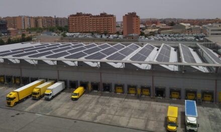
Correos will implement its own geographic information system (GIS) in the following months. The system will help in the decision process of office locations, sort centers, routes design, pick up and delivery systems and management of the transport system.
The winner of the public tender were Sadiel (for technology services) and Sitesa (for geographic system) companies. The value of the acquisition and implementation is EUR 778,000. The project started last July and will be divided in 3 stages:
– 8 months of development (elaboration of the system customized to Correos’s needs)
– 6 month of support (solutions of problems during the first months)
– 2 years of geographically-referenced information.
Correos has been using the Geographic Information System for many years. With this project, Correos wants to extend this technology in other areas like Correos Telecom, Virtual Post Office and other units.
The GIS system will also improve the search of offices location through Correos’s website.